When planning forestry operations, AI can assist in paying attention to things like risks caused by climate change, biodiversity and forest carbon storages,

- According to forest experts, AI makes it easier to focus field visits on spots which are actually the most important, says Sanna Härkönen, Sitowise Product Business Lead.

AI can also be used in education and training, sales and marketing, and in monitoring forest growth and carbon storages. The resources used to teach AI include, among others, open-access forest resource data, laser scanning and satellite images. Some of these resources are free of charge, while others are not.

Potential of AI in the forest sector:
Satelliittikuva metsästä.
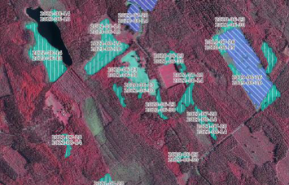
Using a time series, AI shows the changes in the basal area of a stand. The image enables the estimation of felling volumes. The Finnish Forest Centre makes use of this data in, for example, law enforcement.
Satelliittikuva metsästä.
The image shows the health risks in the forest. The more red there is in the image, the higher the risk of damage by insects, drought or any other factor. The AI model does not specify the nature of the problem, but only shows where a visit on the ground should be made.
Satelliittikuva metsästä.
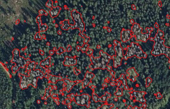
AI has detected dead trees in an aerial image; in other words, it has mapped an area of suspected forest damage.
Satelliittikuva metsästä.
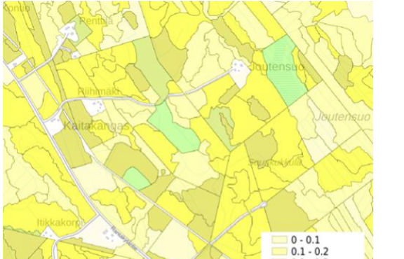
The image shows the biodiversity of each forest compartment. AI can help in determining such things as the amount of decayed wood, which is an important indicator of good forest biodiversity.
Satelliittikuva metsästä.
AI generates data on changes in the forest carbon balance. The carbon balance concerns the processes in which carbon is bound by a growing forest and, conversely, removed by fellings and decay. The difference between binding and removal equals the net sink, or the carbon balance, of the forest.
Satelliittikuva metsästä.
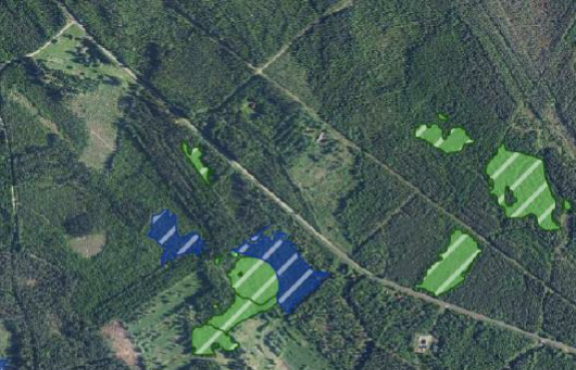
AI indicates the areas where the forest is too dense, where saplings or young stands should be thinned.

This article was originally published on the Forest News website. You can read it here.

Smartlas - climate-resilient designin
Smartlas offers collection of smart maps and reports for more sustainable land use planning, forest management, decision making and reporting.